


Land
Vacant Land
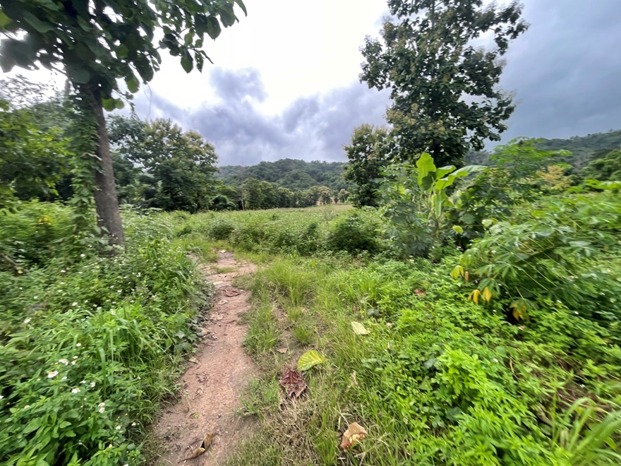
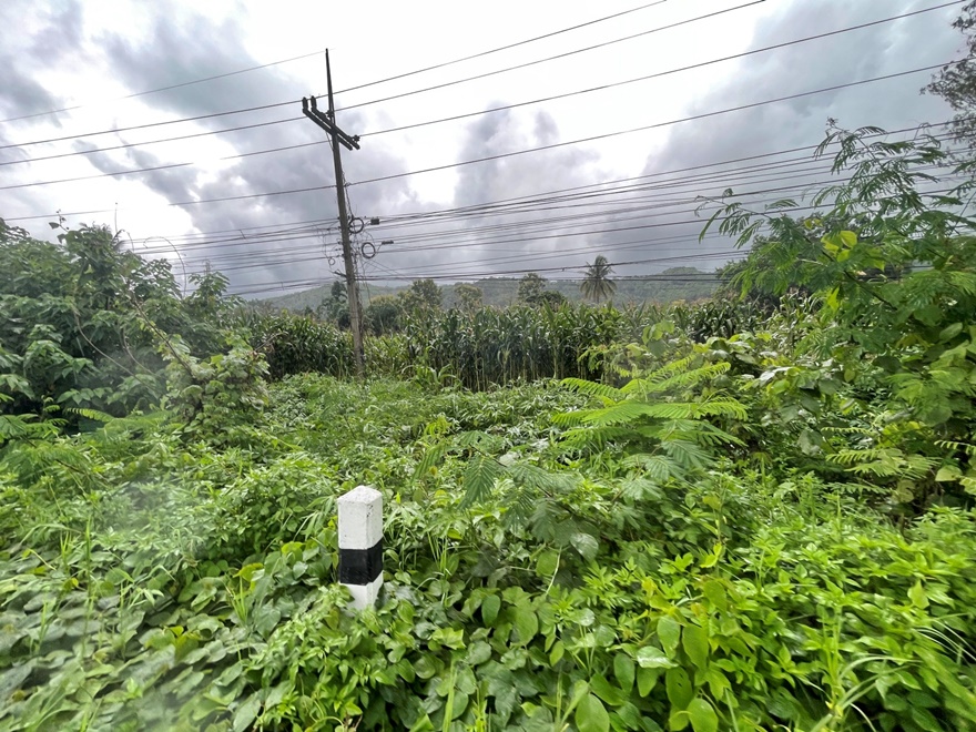
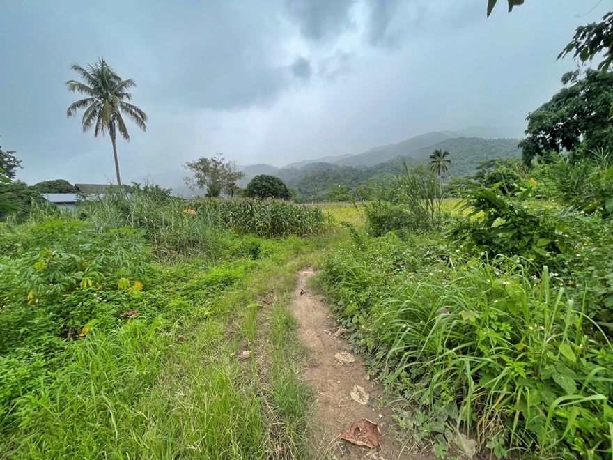
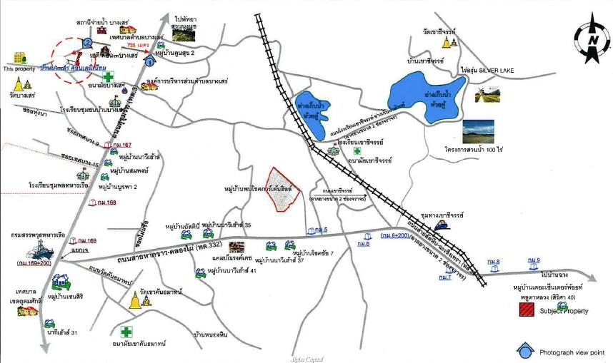
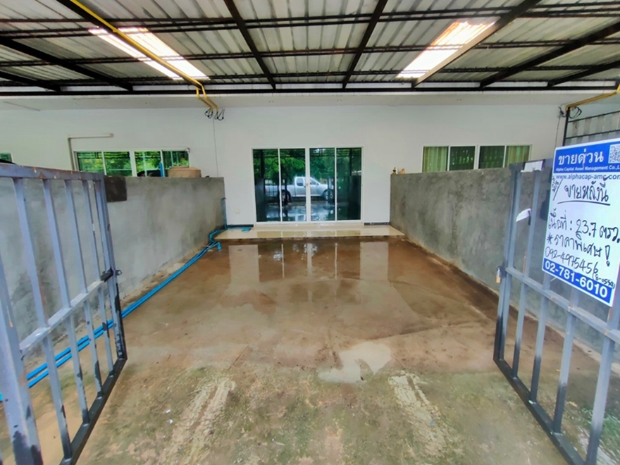
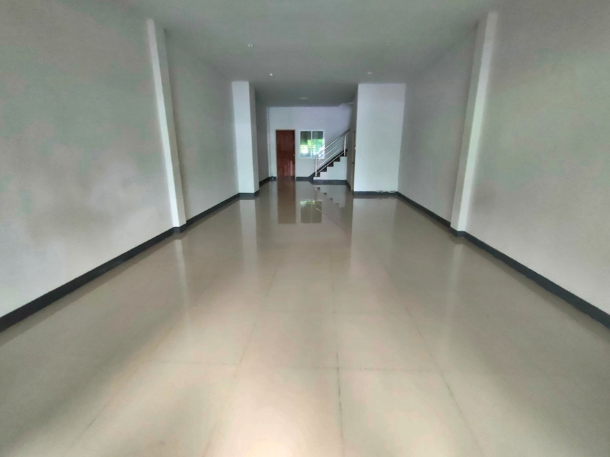
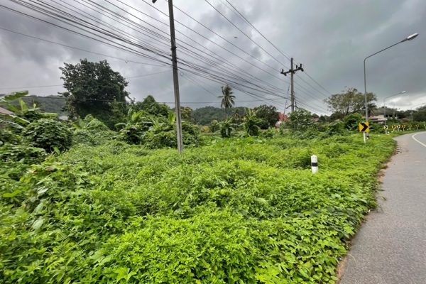
Save propertyFang- Mae Chan Rd. (Hwy.1089) at Km.234+400 Sub-district Pa Tuek , District Mae Chan , Province Chiang Rai For Google Maps : 20.125385,99.805911
20,500,000
Baht
Status :
For Sale
Property Code :
ZC_019_G01 (ZC_019)
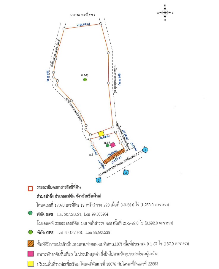
Deed No. :
Chanod No. 18076, 22883
ผู้จัดการทรัพย์ :
K.Parinya


Select properties to compare
Select the properties you’re interested in and compare them side by side to clearly see the differences
|
|
|
|---|---|---|
| Location | Location Fang- Mae Chan Rd. (Hwy.1089) at Km.234+400 Sub-district Pa Tuek | |
| Usable Area | Usable Area - | |
| Land Area | Land Area 9945 Sq. Wah | |
| Detail |
Detail
|

Select the properties you’re interested in to compare
Compare key features, prices, locations, and other property details in a single view to help you make decisions more easily